Archaeology Students Probe Dartmouth's Underground History
Professor Jesse Casana's class uses remote sensing tools to search for old buildings beneath Baker lawn.

On a recent fall day, Associate Professor Jesse Casana’s “Landscape Archaeology” students navigate what looks like a lawn mower and a Star Wars command shuttle back and forth across Baker lawn, trying to develop a picture of Dartmouth’s early history.
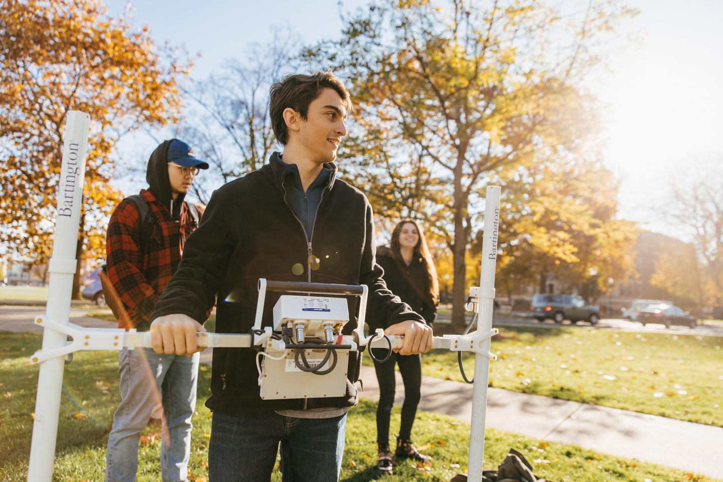
Casana, a specialist in the use of remote sensing technologies in archaeology, says expeditions to Baker lawn give students a chance to try out a few of the powerful tools available for discovering and mapping ancient cultural features. On this trip they use a lawn-mower-like ground-penetrating radar instrument for detecting underground objects and a spaceship-like magnetic gradiometer for measuring very subtle variations in the earth’s magnetic field.
Many buildings on the Dartmouth campus from the 1700s or 1800s were removed as the College grew, Casana says. “While the buildings themselves are gone, in many cases their foundations, cellars, and other things, like old wells, toilets, and water pipes, are probably still there. Using these kinds of technologies, we are able to document and map features like this over large areas.”
Luke Cuomo ’20 paces across the lawn in time to the beeps produced by the magnetic gradiometer he holds in front of him. He is careful to keep the parallel white tubes on either end of the crossbar vertical and at a consistent distance from the ground.
“This can detect variations in the Earth’s magnetic field on a scale of nanoteslas. A difference of five or 10 nanoteslas from the bottom of the tubes to the top can show that there is a piece of pottery or metal or a firepit under the ground. It’s incredible,” says Cuomo, a government major who says he’s taken several archaeology classes because he really enjoys them.
April Johnson ’20 says this kind of field work is what drew her to archaeology. “I started off as a physics major, but I didn’t like how theoretical everything was. I like this much better because you get to collect physical data and it is just more hands on,” she says.
Johnson is now working in Casana’s lab, using geographic information systems software to process and map the sort of data the class is collecting on this field trip. “I think collecting the data is the fun part, and number crunching is just what you have to do.”
Casana, whose work includes using satellite imagery to assess and document ongoing damage to archaeological sites in Syria and northern Iraq, says the results of the students’ recent site survey will become part of a larger effort by PhD student Elise Laugier and Casana’s Spatial Archaeometry Lab to map the lost buildings and landscapes of the Dartmouth campus.
“I hope the experience helps the students understand that archaeology is all around us, often right under our feet, and if you know where and how to look, you can find it,” he says.
By Bill Platt